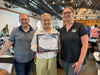
 You know what they say, it’s just an honor to be nominated. For Louisville Water, it truly was an honor to be included in an elite class of organizations and non-profits recognized at the inaugural Jefferson County Public Schools (JCPS) ‘Community Champions’ event.
Field Elementary leadership personnel nominated Louisville Water. We couldn’t ask for a better neighbor. The school sits just behind our Crescent Hill Water Treatment Plant. Our partnership and friendship began the first day the school opened.
 Every year, we visit Field for classroom lessons, hands-on experiments, field days, festivals, after-school events, and promotion ceremonies. Tapper has become part of the family too, frequently popping in for fun activities! It’s also become a tradition for employees to adopt Field families during Christmas and personally deliver a truckload of gifts.
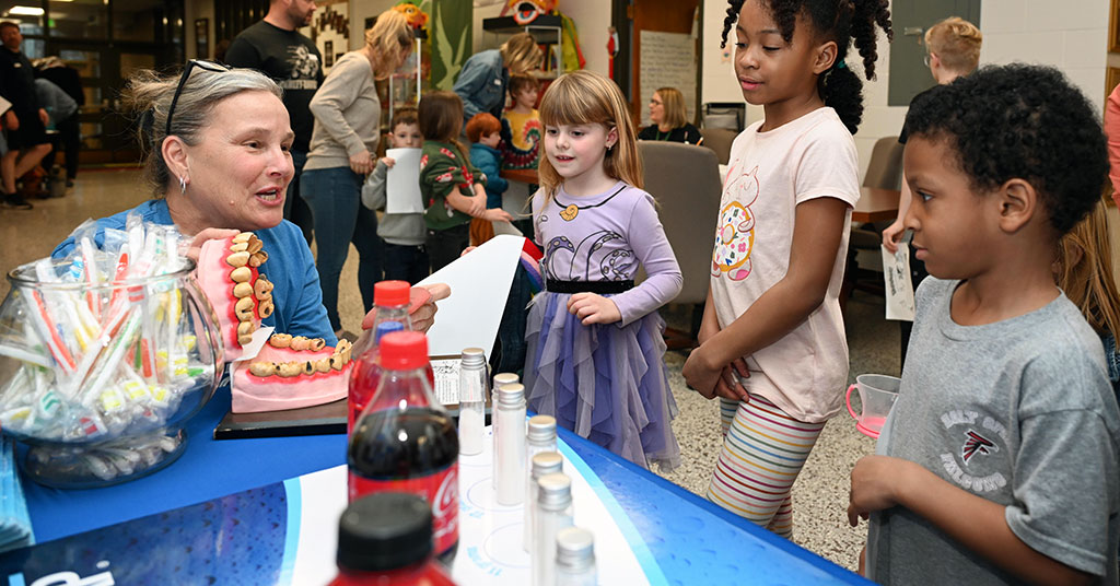
Louisville Water firmly believes building relationships with our community builds trust. Part of that work involves connecting with the younger generation. Our educators visited 65 JCPS schools with a total of 165 engagements throughout the 2025 – 2026 schoolyear.
The JCPS Community Champions initiative aimed to highlight groups who provide mentorship, resources, and support to students and teachers. Louisville Water is proud to help impact our community one student at a time.
